
DOCUMENTEDMountaineering · Guide
EXPEDITION3 High Passes + Multiple Peaks
Everest Region, Himalayas, Nepal · 23 Sept 2017 – 16 Oct 2017
Distance
163.9km
Elevation gain
8,455m
Highest point
5,626m
Duration
24 days
Route
MANUALLY DRAWN ROUTEManually Drawn Route — an approximate line drawn by the author, not a GPS recording.
Elevation profile
0 km · 2,512 mmax 5,626 m163.9 km
Account
Unguided trip to the Himalayas on a printed map. No porter. No guide.
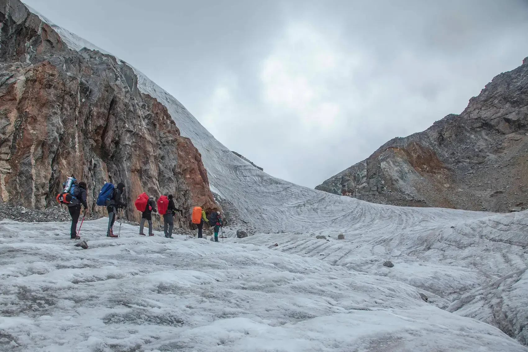
We (team of 7) carried our gear, tents, sleeping bags, cameras, batteries, tripods, and all the essential climbing gear for Island Peak 6200m, which weighted 30 kg for each backpack.
The trip included, rock scrambling, class 4 climbing, glacier travel, crampons, fixed rope.
I suffered a knee injury while heading towards Gokyo, and had to skip the last glacier (Renjo La) and turn back from Gokyo.
We faced, snow storms, heavy fog, and extreme cold on high altitude.